Thursday, March 3, 2011

Cornucopia Peak

   I only went on 1 hike over the summer despite planning on doing at least 6.  No one wanted to go with me so I went by myself.  I decided to hike Cornucopia Peak, which towers above the ghost town of Cornucopia. 
   Cornucopia used to be a gold mining town in eastern Oregon and was prosperous.  When WWII broke out, the miners enlisted and went off to war.  When they returned, everyone decided that the mining would cost more than it was worth and was pretty much abandoned.  There is probably a lot of gold still left in the mountains.  The town isn't completely abandoned, there are a few summer cabins up there and used frequented by hikers, ATV \and horseback riders.


   I started out my hike from Cornucopia along an abandoned and washed out road that eventually turned into a worn out trail.

 I found this concrete structure about a mile into my hike.  I asked my dad (who grew up in the area) about it and he said it used to be a hotel.

   Storm clouds sporadically blew over and threatened rain and snow.


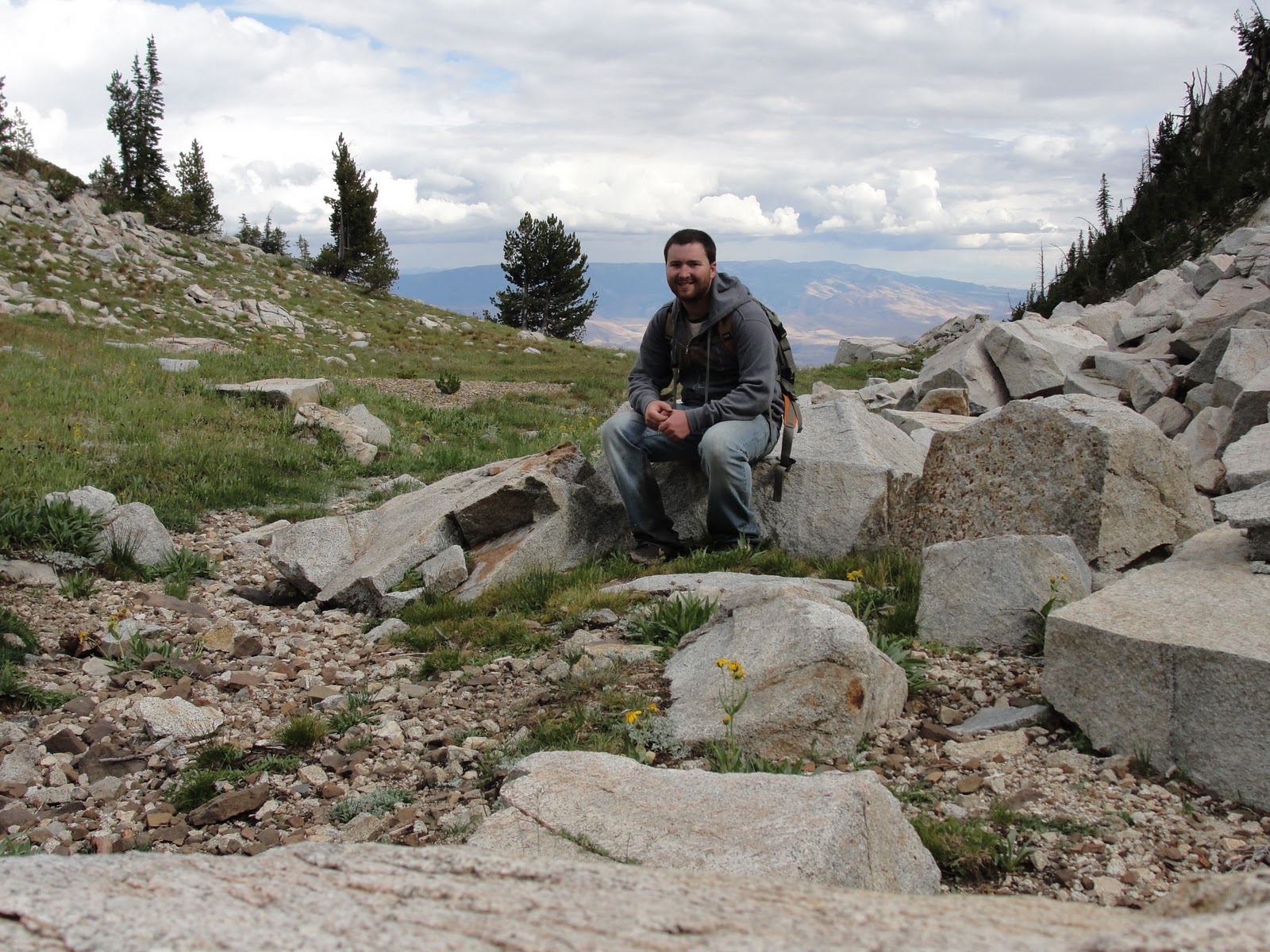
On the other side of that rock is a cliff face that drops down about 100 ft.

    There is something special about this tree, like its the largest, highest tree in Oregon or something like that.  You cant tell very well from the picture, but it is huge.

Took a trail that didn't pan out, and punt this metal plate at the end of it.  I looked around and found a few more pieces that made it appear to be wrought iron wood stove.  I don't know who or what lugged it 3 mi up steep terrain.  there weren't any remnants of a cabin or anything, just the broken iron pieces and a strip of leather.

    Across the way you can see Pine Lakes.  They are cold year round and supply water to Pine Creek and eventually the Snake River at Copperfield.
    It had snowed the night before.


    The last time I saw this mineshaft it was flooded and I thought it went straight down as a ventilation shaft.
    But this time it was dry and you can see it levels out.  I wanted to explore it, but had no flashlight.  Next time though...


    This picture is big, just so you know.

Thursday, December 16, 2010

Bonneville Fish Hatchery

I remember going to the Oregon Department of Fish and Wildlife (ODFW) Bonneville Fish Hatchery when I was a little kid a handful of times.  Last spring I was driving and found that I had a few hours to spare, so I pulled over at the hatchery and wondered around for about an hour and a half.

There were a bunch of rectangular, concrete pools covered with net.  The net is to keep the little fish from jumping out.


The coolest part is the sturgeon pond.  There is a section at one end of the pond that is underground with a glass window that looks into the pond.


There are a handful of fish food vending machines around where you can buy food and feed the fish.  I used it to coax the trout closer for pictures.


Apparently I didn't take as many pictures of the hatchery as I thought.  Maybe I'll go back and add more to this.

Sunday, December 5, 2010

What next?

What Oregon location would you like me to write about next?


Fish Hatchery


 State Road 14 (actually, this is in Washington, but just barely)


Cornucopia Peak


Cougar Reservoir/Terwilliger Hot Springs


Blue Hole


Lime 

Monday, November 29, 2010

Starvation Creek Falls


   While driving through the gorge on interstate 84 once, I noticed some concrete structures on a cliff side.  I didn't give it too much thought, just that it must have been some remnants of the old highway.
   A few months passed, and I found myself driving on the same stretch of 84, and looked for the structures again, but never saw them.  Every time since then I have made it a point to find those structures again and maybe find out exactly what they were/are.  This post is about one of those times.
   
   I was again on I-84 over the summer with a few hours of time to spare, so I decided to pull off at a few of the historical sites along the interstate in the hopes of finding a plaque or info board on the old highway.  The stop was Starvation Creek State Park Picnic Area.
    It had a section of hwy 30 that was closed to traffic and only open for walking and biking.  There were a handful of people at the stop, but only a few on the old highway.  The scenery around the road was peaceful and interesting to look at, and at some points made me wish it was open to drive on.
    I walked along the path for what seemed like to me to be a few miles (really though I think it ended up being 3/4 mi.) before ending up in a small clearing in sight of the interstate.  I decided to turn around after coming to the conclusion that this wanst the particular stretch I was hoping it would be and decided to check out the water fall.


   I walked back, and up to the water fall following the signs, but found that the path didn't go all the way up to the falls.  It ended at a stone wall still quiet far from the fall, but with an adequate view of it still.  This didn't stop me at all.
   I climbed over the stone wall and made my way towards the fall.  I could easily tell that I wasn't the only one to do it either as  there was a path worn through the foliage leading to the falls.
   The walk was easy up until a small picturesque waterfall where I had to hop from one slippery stone to another.  I somehow managed to make it across without getting my shoes wet, but not before taking a few quick pics.


   It was only a short walk uphill to the main falls.


I also noticed a few old concrete things.  I don't know what they were, but there were some old broken pipes  laying around so I think they might have been some sort of irrigation?


   I left the falls area when I was mostly satisfied (I still had a long drive ahead of me) and was almost eaten by a couple of dogs running around.  The dogs owners were walking up the paved path and called the dogs back, and I don't think I was ever in any danger.  They apologized and I told them not to worry about it cause I like dogs.
   Starvation Creek Falls turned out to be a pleasant surprise.  Even though what I originally set out to find didn't pan out, I did discover what I think are one of the coolest and most underrated falls in the gorge.  I plan to stop here again in the winter to see what its like iced over.  I'll be sure to add photos of it when I go.


Although I wasn't born in Oregon, I don't remember living anywhere else.  Growing up in Eastern Oregon (more east than Bend), and currently living along the I-5 corridor,  I feel I know more of Oregon than most of its residents, and I have grown to love pretty much all of it!  I really enjoy driving and exploring and want to share what I have seen.
[Pic is Wolf Creek Reservoir - Union County ©catapillar1]